Snow Report
7 Day Snow Totals

24 Hour Snow Totals


Avalanche Report
Avalanche Advisory For No Current Report
Bottom Line
No Current report.
No Current report.
| Low | Moderate | Considerable | High | Extreme |
|---|
Weather Stations
Alta Base
Elev 8,560 ft
Sun Jul 26 @ 6:00 AM

Temp: Red Line
Wind: Light Gray Area
Wind Gust: Light Blue Area
Wind Dir: Orange Circles
Temp:
60.5º F
Wind Dir:
E
Wind Spd:
4, gusting to 6
Timeframe:

Weather Station Loading...
Weather Station Loading...
Weather Station Loading...
Weather Station Loading...
Weather Station Loading...
Weather observations are graciously provided and aggregated by Synoptic Data
Weather Forecasts
Alta Ski Resort
Elev 9,433 ft
Sun Jul 26 @ 6:31 AM

Temp: Red Line
Wind: Light Gray Area
Wind Gust: Light Blue Area
Wind Dir: Orange Circles
| Today | Tomorrow | Tuesday | Wednesday | Thursday | Friday | Saturday |
|---|---|---|---|---|---|---|
|
|

|
|
|

|
|
|
|
Mostly Sunny then Slight Chance T-storms |
Mostly Sunny |
Mostly Sunny then Slight Chance T-storms |
Mostly Sunny then Slight Chance T-storms |
Sunny | Sunny | Sunny |
| Hi 80 °F | Hi 77 °F | Hi 76 °F | Hi 75 °F | Hi 78 °F | Hi 78 °F | Hi 79 °F |
| Lo 61 °F | Lo 59 °F | Lo 59 °F | Lo 57 °F | Lo 59 °F | Lo 60 °F | Lo 60 °F |
Weather Forecast Loading...
Weather Forecast Loading...
Weather Forecast Loading...
Weather Forecast Loading...
Weather Forecast Loading...
Weather Forecast Loading...
Weather Forecast Loading...
Web Cams
| Alta - High Rustler | Alta - Superior |
|---|---|
|

|
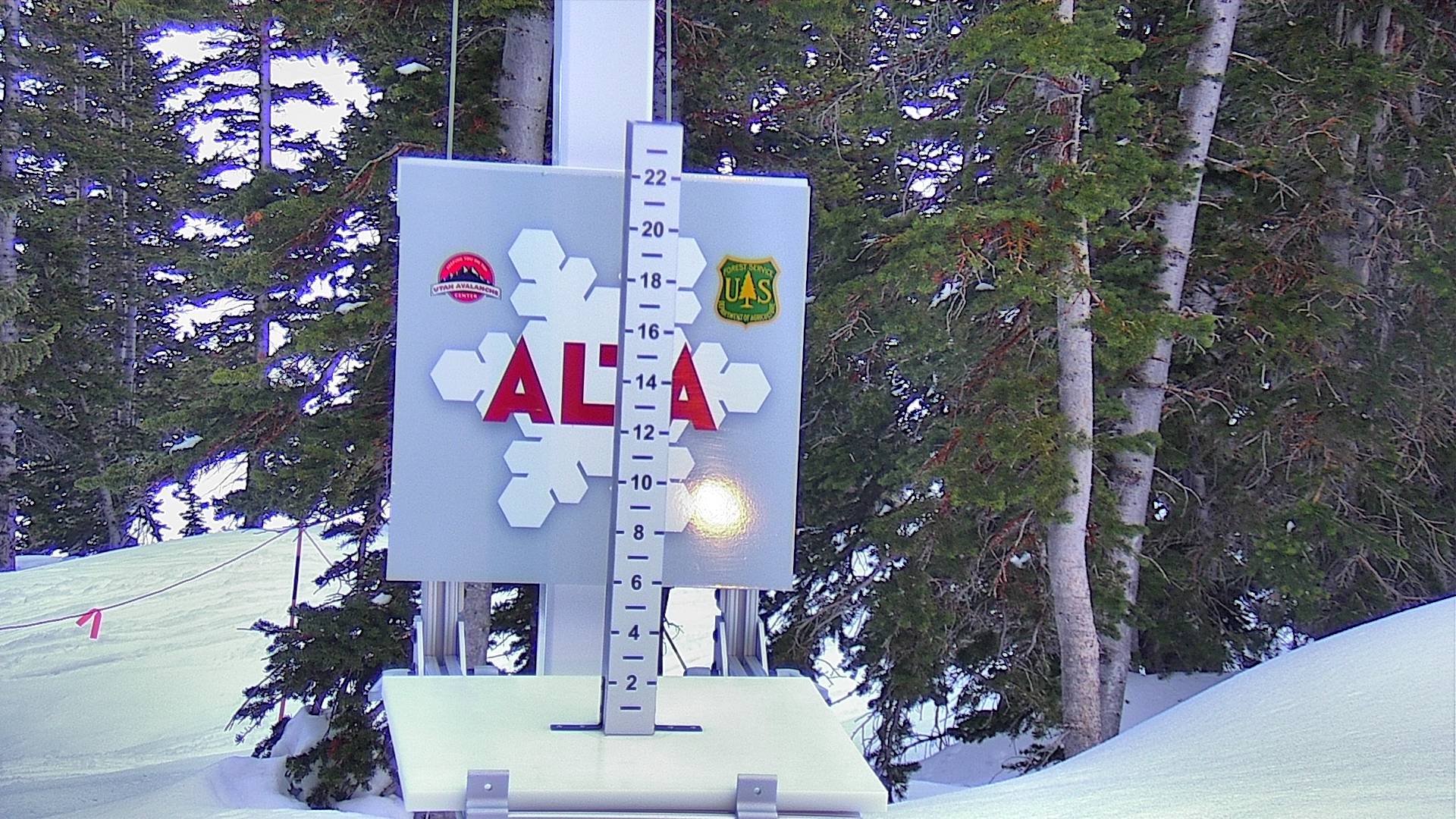
| Alta - Greeley | Alta - Snow Stake |

|
|
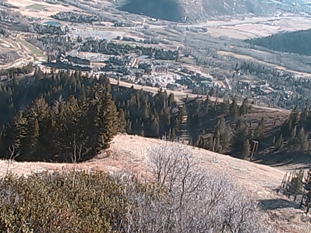
| Snowbird Peak Cam (Down Canyon) | Snowbird Hidden Peak |
|---|---|
|
|
|
| Snowbird Top of Mineral | Snowbird Snow Cam |
|
|
|
| Solitude - Moonbeam Lodge | Solitude - Last Chance |
|---|---|
|
|
|
| Solitude - Roundhouse 1 | Solitude - Roundhouse 2 |
|
|
|
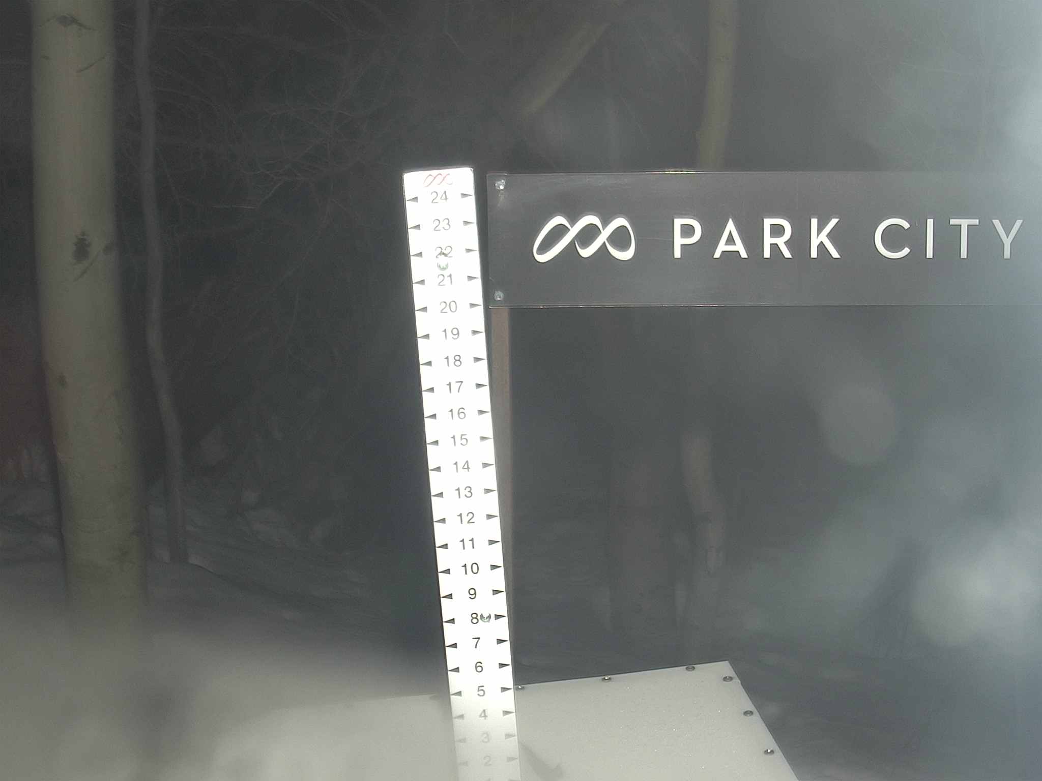
| Park City - Lookout | Park City - Snow Stake |
|---|---|
|
|
|
|
|